Following up on the recent success of the Open Cities program in Africa, GFDRR is extending its support to digital mapping for resilience needs in Latin America and the Caribbean, starting in five locations through a partnership with the Humanitarian OpenStreetMap Team (HOT) and the SwissRE Foundation.
THE CHALLENGE
The densely populated region of Latin America and the Caribbean is vulnerable to volatile weather conditions and natural hazards such as hurricanes, tropical cyclones, landslides and earthquakes. Combined with the effects of climate change, this puts a huge number of lives and livelihoods in the region at risk. In the two decades preceding the year 2017, five of the world’s 10 countries most devastated by natural hazards were in Latin America and the Caribbean.
To respond optimally to the risks, government leaders and local communities must understand risk dynamics on the ground. This requires up-to-date information not only about local populations, but also about critical infrastructure and the built environment. In Latin America and the Caribbean, such information is often lacking or inaccessible because it’s stored in closed platforms or in government agency “silos”.
Regional efforts to crowdsource geospatial information through open data platforms have had some success, but challenges such as coverage gaps, data quality, regular updates and a lack of on-the-ground data validation remain.
THE APPROACH
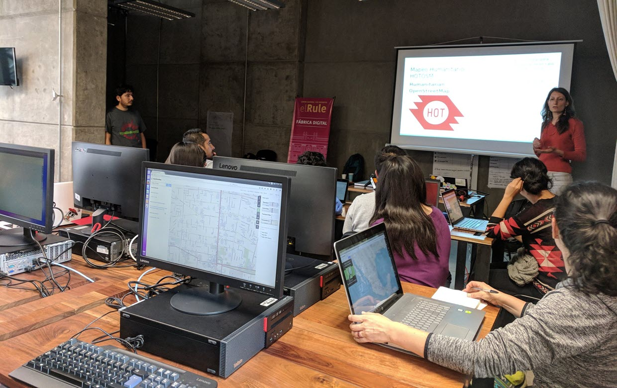
The Humanitarian OpenStreetMap Team (HOT) supports the creation of open map data for international development and crisis response. In this project, HOT will collaborate with the Global Facility for Disaster Reduction and Recovery (GFDRR) to implement a low-cost, open-source approach to gathering geospatial data about features that can be used to guide disaster risk management and response in Latin America and the Caribbean, such as roads, building footprints and civic services. In terms of sustainability and impact, the partners will directly engage community members and will support the growth of local organisations and individuals that can champion mapping work when the project is complete.
The proposed project builds on the success of prior Open Cities initiatives in South Asia and Sub-Saharan Africa. GFDRR first launched Open Cities in South Asia in 2014, to support the collection of disaster risk data through open data platforms in Nepal, Bangladesh and Sri Lanka.
In 2018, GFDRR launched Open Cities Africa. The program was implemented in 12 cities in sub-saharan Africa to engage local government, civil society, and the private sector to develop the local capacity, and information infrastructures necessary to meet local urban resilience challenges. The Open Cities Africa program has since trained more than 500 residents, university students, and civil servants to gather data on risk. These digital cartographers have mapped more than 500,000 buildings, roads, markets, schools, hospitals, parks, canals, and other features onto OpenStreetMap, a free and collaborative map of the world.
For this work in Africa, GFDRR expanded Open Cities to include an emphasis on online learning, gender, user-centered design, sustainability, and the development of a regional Community of Practice. HOT was a key implementing partner providing technical assistance to local communities and quality control of the work as well as support to the training material. Efforts were done in collaboration with World Bank operational teams to promote the long-term use of the data and in some cases, continued government support of local efforts to produce open source risk information.
GOALS AND EXPECTED IMPACT
Open Cities Latin America and the Caribbean will strengthen the capacities and links between communities and organizations through local pilots in five countries (Mexico, Guatemala, Saint Lucia, Dominica, and Jamaica) by supporting them to create, compile and use open source geospatial data for disaster risk management with a robust process. It will also support governments and organizations to make informed, data-driven decisions and train hundreds of people in local communities and universities in data collection and the use of open source geospatial tools. The activity will run until December 2022.
For more information: Pierre Chrzanowski, GFDRR, pchrzanowski@worldbank.org